The Intelligence, Surveillance, and Reconnaissance (ISR) landscape continues to evolve as new challenges and operational demands push the need for advanced technologies and improved mission workflows. With agencies seeking to modernize their infrastructure, 2026 is poised to become a pivotal year in ISR innovation.
As the volume of video, sensor data, and open-source information continues to grow, agencies are facing unprecedented data complexity. Modern ISR operations now require technologies that can fuse diverse inputs, automate analysis, and support distributed teams operating across multiple domains.
ISR challenges have expanded beyond simply gathering information. Today, the priority is processing that data quickly, presenting it clearly, and delivering it to decision-makers as fast as possible.
Keep reading this post to learn about the emerging tools and trends that are driving innovation across ISR video workflows and how agencies are looking to tackle challenges in the new year and beyond.
The adoption of drone as first responder systems
Drone as First Responder (DFR) programs continue to emerge as agencies look for faster, more accurate information during emergencies. What were once national- and federal-level systems are now being adopted by municipal operations, giving agencies citywide insights during critical incidents.
Beyond rapid response, DFR programs also create a scalable foundation for long-term modernization, enabling drones to become part of daily operational workflows—not just emergency deployments.
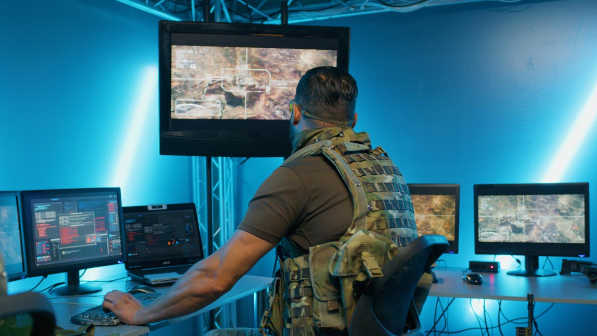
By deploying drones equipped with high-resolution cameras for live video streaming, safety and security organizations can obtain critical real-time aerial intelligence before officers arrive on the scene. When DFR systems are paired with cellular video transmission technology and visualized using powerful software like the Haivision Command 360 video wall solution, command centers gain a clear, unified view of aerial feeds, ground cameras, and real-time alerts, allowing teams to coordinate and act more quickly and effectively.
AI-powered situational awareness and analytics
AI and machine learning continue to become more accessible for public safety operations, enabling agencies to extract greater value from the video infrastructure they already have in place. By pairing legacy cameras, fixed sensors, and existing video networks with Haivision Kraken video processing platform, agencies can apply real-time AI processing to mission-critical video without requiring a full system overhaul. Kraken integrates AI-enabled processor modules and partner algorithms to perform object detection, classification, and tracking, enriching live video streams with actionable metadata and visual cues.
These AI-driven enhancements allow operators to quickly identify relevant activity, focus attention on what matters most, and improve decision-making within command centers and field operations. By adding intelligence directly to the video stream, Kraken transforms sources that once provided limited situational awareness into valuable, insight-driven assets.
As a result, agencies can extend the life of existing infrastructure, reduce upgrade costs, and deploy AI-enhanced analytics across environments. Whether deployed at the tactical edge, within command centers, or in cloud-based workflows, Kraken delivers real-time AI processing that enhances situational awareness and supports faster, more informed responses when every second counts.
Real-time traffic intelligence to improve response times
Public safety teams are exploring how to integrate live traffic information from public and commercial camera networks in high-traffic zones in order to improve response times during emergencies.
With growing urban populations and increasing congestion, traffic delays can significantly impact response outcomes. Leveraging AI-powered systems and live video transmission technology gives dispatchers real-time insight into the fastest and safest paths to the scene, improving arrival times during incidents or large-scale events.
AI at the tactical edge in contested environments
Contested environments require ISR systems that can operate in areas with low bandwidth and where GPS services are not completely reliable. AI-enabled edge processing reduces reliance on connectivity by analyzing full-motion video (FMV), imagery, detections, and sensor inputs from aircrafts, UGVs, or drones, instantly.
By processing critical intelligence at the edge, teams reduce bandwidth requirements and ensure essential insights reach command centers even during network disruptions.
This edge-processed video data can then be transmitted using Haivision’s ultra-low latency encoders and transmitters and visualized through the Haivision Command 360 video wall solution, enabling command centers to maintain situational awareness in disconnected, intermittent, or low-bandwidth environments.
Multi-domain integration and space-based ISR
ISR platforms extend across land, sea, air, and even space. As commercial operators continue to develop solutions in orbit, space-acquired imagery and data from satellite sources are becoming increasingly important to modern ISR workflows.
Real-time satellite video feeds can now be combined with airborne or terrestrial ISR systems to give a more complete snapshot of any given situation. The ability to merge satellite, airborne, maritime, and ground-based feeds through interoperable platforms gives agencies a unified operational picture, enabling faster interpretation and more confident decision-making.
With Command 360, teams can see satellite imagery alongside live airborne video, providing analysts and commanders with a layered, real-time view that supports rapid action and cross-team collaboration.
The continued rise of open-source intelligence
Open-source Intelligence (OSINT) has become one of the most important trends in intelligence gathering. With publicly shared information increasingly available worldwide, agencies can use large language and machine learning models to detect patterns, analyze insights, and extract intelligence from region-specific content.
As agencies refine their OSINT strategies, the goal is shifting from simply collecting public data to filtering, validating, and prioritizing insights that directly support operational decision-making.
Real-time intelligence will always require real-time visualization
Across both public safety and defense environments, ISR operations demand the ability to capture, transmit, and visualize video and data as quickly as possible. As new technologies and AI-powered systems continue to expand, the challenge is no longer just gathering information, but organizing, interpreting, and distributing it in real time.
Each of these emerging trends reinforces a common need: a unified visualization framework that brings together diverse data sources and presents them clearly for rapid, coordinated action.
As the ISR landscape evolves, Haivision continues to support these needs with ultra-low latency video encoding, reliable and safe network video transport in harsh or contested environments, edge-ready technologies for drones and vehicles, and new powerful updates to the Haivision Command 360 video wall solution.
With trusted deployments across defense organizations, government agencies, and public safety teams worldwide, Haivision helps agencies collaborate more effectively, respond faster, and make better decisions in the moments that matter most.

