
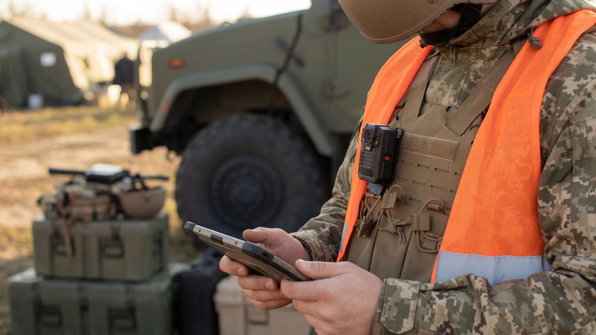
Modern military operations frequently depend on the ability to operate from temporary or mobile locations. Whether supporting expeditionary deployments, forward operating bases, maritime missions, or mobile command posts, teams often need to establish situational awareness quickly using limited infrastructure while operating in dynamic environments.
Building an effective common operational picture requires more than simply viewing live video. Operators must combine full-motion video with metadata, mapping, intelligence, and operational updates to understand what is happening, where it is happening, and how it relates to the wider mission. This is why portable intelligence, surveillance, and reconnaissance (ISR) capabilities are becoming increasingly important. By bringing video processing, visualization, and collaboration closer to the tactical edge, military teams can access critical operational information without depending on fixed command centers or extensive communications infrastructure.
Whether supporting expeditionary operations, border security, maritime surveillance, or disaster response, the objective remains the same: giving the people closest to the mission the information they need to make informed decisions quickly.
Building a Shared Common Operational Picture
Situational awareness at the tactical edge is only part of the mission. The information must be shared across teams operating from different locations, from operators in the field to commanders and analysts coordinating the broader operation. Depending on the mission, teams may work from forward operating bases, mobile command posts, tactical operations centers (TOCs), expeditionary headquarters, or permanent command centers, all of which rely on timely access to the same operational information.
The real challenge begins when information from multiple sensors, platforms, and teams is brought together to support operational decisions and create a shared understanding of the operational environment. This shared understanding is the common operational picture (COP), built from full-motion video, platform telemetry, intelligence reports, mapping systems, KLV metadata, and other operational updates.
By correlating these data sources in real time, decision-makers can better understand what is happening, where it is happening, how it relates to the wider mission, and what course of action to take.

Why Metadata Matters
Metadata provides the operational context that transforms live video into actionable intelligence. A video feed may show a vehicle moving across the screen, but KLV metadata reveals where that vehicle is located, where the sensor is positioned, and how the observation relates to other assets operating in the area. VMTI data can further assist operators by identifying and tracking objects of interest across multiple video streams.
The Growing Role of AI-Generated Metadata
As AI-enabled technologies continue to mature, many organizations are exploring how AI-generated metadata can help analysts manage larger volumes of information by highlighting potential points of interest for human review. These technologies are increasingly becoming another layer of context within the broader ISR workflow.
Beyond the Command Center
Whether supporting a mobile command post, TOC, expeditionary headquarters, or permanent command center, today’s ISR environments extend well beyond a wall of displays. They are collaborative decision-making environments where video, metadata, mapping, communications, and operational intelligence come together to support mission execution.
Similar workflows support a wide range of operational environments, including TOCs, Joint Operations Centers (JOCs), maritime command centers, and intelligence fusion environments. Regardless of location, the objective remains the same: combining information from multiple domains to give decision-makers a clear and accurate understanding of the operational environment.

Building an End-to-End ISR Workflow
Situational awareness does not exist within a single device or location. It depends on the ability to move information efficiently between sensors, operators, analysts, and decision-makers.
ISR workflows often begin at the sensor. Video captured by drones, aircraft, or other surveillance platforms must be encoded, transported, processed, and distributed while preserving the metadata that gives it operational value.
In many defense and ISR missions, this workflow extends well beyond traditional command centers into disconnected, bandwidth-constrained, or mobile environments where video and metadata must be processed, visualized, and shared closer to the sensor. Solutions designed for tactical-edge deployments help deliver these capabilities directly to operators in the field.
For example, the Haivision Kobra video operations platform enables teams to visualize multiple video feeds alongside KLV metadata, VMTI information, mapping, and other mission data to build a shared operational picture on any connected display. Built for rapid field deployment, Kobra’s compact and portable form factor enables teams to transport and deploy full video operations capability in tactical, temporary, and remote environments.
As organizations continue to explore AI-enabled ISR workflows, video is increasingly being augmented with AI-generated metadata from leading defense AI technologies. By combining traditional ISR metadata with AI-assisted insights, analysts can review additional context alongside live and recorded video while maintaining human oversight and decision-making authority.
To learn more about how defense organizations are integrating AI-generated metadata into ISR workflows, watch our webinar with Shield AI.
From Sensor to Decision
Leveraging Haivision ISR video technology, a typical ISR workflow includes:
- Sensor (UAV, aircraft, maritime platform)
- Makito video encoders which acquire and transport video from the platform
- Kraken X1 Rugged video transcoder processes the video and metadata
- Haivision Play ISR video player enables review, collaboration, and analysis
- Kobra video operations platform gives tactical teams the ability to view the video and data from the field
Throughout this workflow, video is enriched with metadata, integrated with mapping systems, and combined with other operational information. Solutions such as Makito video encoders, Kraken X1 Rugged, Play ISR, and Kobra each support different stages of the ISR mission, helping organizations acquire, process, visualize, analyze, and share information across distributed operations.
Play ISR Premium extends these capabilities with mapping, annotation, recording, and collaboration tools that help analysts extract greater value from live and recorded ISR video.
The technology itself is important, but it is ultimately in service of a larger goal: ensuring that information reaches the right people at the right time.
The Future of ISR Is Contextual Awareness
As defense, public safety, and emergency response organizations continue to deploy more sensors and collect more data, the volume of available information will only increase. Success will not be determined by who collects the most video. It will be determined by who can transform that video into operational understanding.
AI-enabled ISR video solutions help organizations move toward that goal by bringing together video, metadata, analytics, and collaboration tools into a unified operational workflow. Whether supporting a drone deployment, monitoring wildfire activity, tracking vessels at sea, or enabling military operations at the tactical edge, the objective remains the same.
As ISR operations continue to evolve, the organizations that succeed will be those that can transform video, metadata, and operational context into shared understanding across the entire mission chain, from the tactical edge to every level of command, including mobile command posts, tactical operations centers, JOCs, and permanent command centers.
Because in mission-critical environments, situational awareness is not measured by how much information is available. It is measured by how quickly teams can understand it and act on it.
