Article Summary
Learn how dispatch centers, RTCCs, and field responders work together to improve public safety response, including:
- The role of dispatch centers in emergency response
- How RTCCs add real-time context and intelligence
- How information flows between command centers and field responders
- Why a shared operational picture supports better situational awareness
When an emergency call comes in, the dispatch center is often the first point of coordination for a public safety response. But dispatchers are only one part of a much larger operational picture.
Real-time crime centers (RTCCs), command staff, field responders, traffic management teams, emergency operations centers, and other agencies may all provide information that helps teams understand what is happening and coordinate an effective response.
Connecting these resources can give public safety teams a more complete picture of an incident, from the initial call through resolution.
What Is a Dispatch Center?
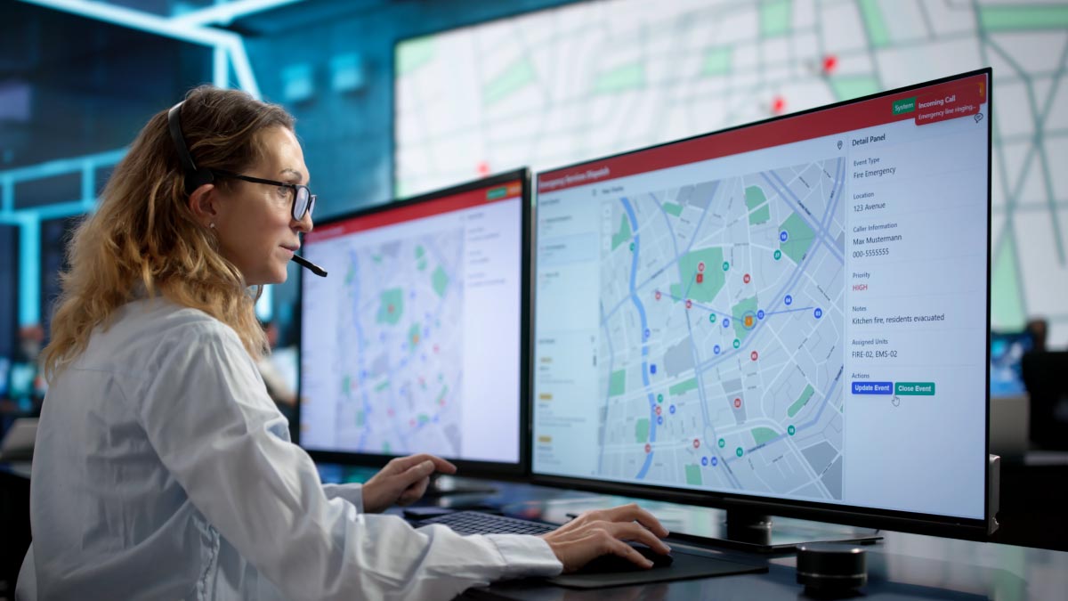
A dispatch center, often referred to as a 911 center or public safety answering point (PSAP), is responsible for receiving emergency calls and coordinating the appropriate response.
Dispatchers gather information from callers, determine the nature and location of an incident, and communicate with police, fire, EMS, or other responding agencies. They may use computer-aided dispatch (CAD), mapping and GIS applications, radio systems, and other tools to manage incidents and track available resources.
The information provided during a 911 call is critical, but it may only provide one perspective. This is where additional public safety resources can help.
How RTCCs Add Real-Time Context
An RTCC (sometimes known as a real-time information center or RTIC) can provide additional intelligence to help dispatchers, officers, and command personnel understand an incident as it develops.
Depending on the agency and available systems, RTCC personnel may have access to sources such as:
- Fixed surveillance and traffic cameras
- License plate recognition (LPR) systems
- Drone video
- GIS and mapping applications
- CAD information
- Other agency or partner resources
For example, after a 911 call reports an incident at a public location, RTCC personnel may be able to locate nearby cameras and provide additional visual context. This could help determine what is currently happening, identify relevant details, or give responders a better understanding of the scene before they arrive.
The goal isn’t to provide everyone with every available source. It’s to make relevant information accessible to the people who need it.
Connecting Information with Field Responders
Field responders add another important part of the operational picture.
Information gathered by dispatch and RTCC personnel can help prepare police officers, firefighters, EMS personnel, and other responders before they reach the scene. Rather than relying only on the initial call, responders may receive updated information as conditions change.
Information can also flow in the opposite direction.
Video and other information from drones, mobile cameras, body-worn cameras, or additional field resources can provide personnel in the command center with visibility into conditions at the scene. During a large or rapidly evolving incident, this can help supervisors and other decision-makers maintain situational awareness as the response develops.
Building a Shared Operational Picture
Public safety agencies have access to more information than ever, but having more data does not automatically create better situational awareness.
CAD, GIS, live video, LPR, traffic information, drones, and other systems often serve different purposes. The challenge is bringing the most relevant information together so personnel can quickly understand what is happening without adding unnecessary complexity.
Command center visualization can help by providing a central environment where operators can view and organize information from multiple sources based on the needs of an incident.
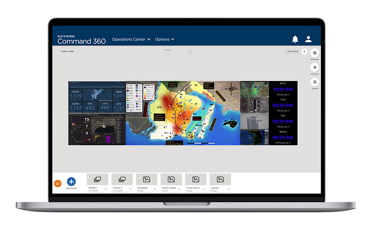
Haivision Command 360, a complete video wall solution for situational awareness and real-time decision-making in mission-critical environments, helps public safety organizations bring critical visual information, including live video, maps, dashboards, web applications, and other operational sources, into a common visualization environment. Operators can organize and share this information across displays and workstations, helping command center personnel maintain a clear view of evolving operations.
By connecting the visual information available to dispatch, RTCCs, command personnel, and field teams, public safety agencies can build a more complete operational picture and support faster, better-informed response.